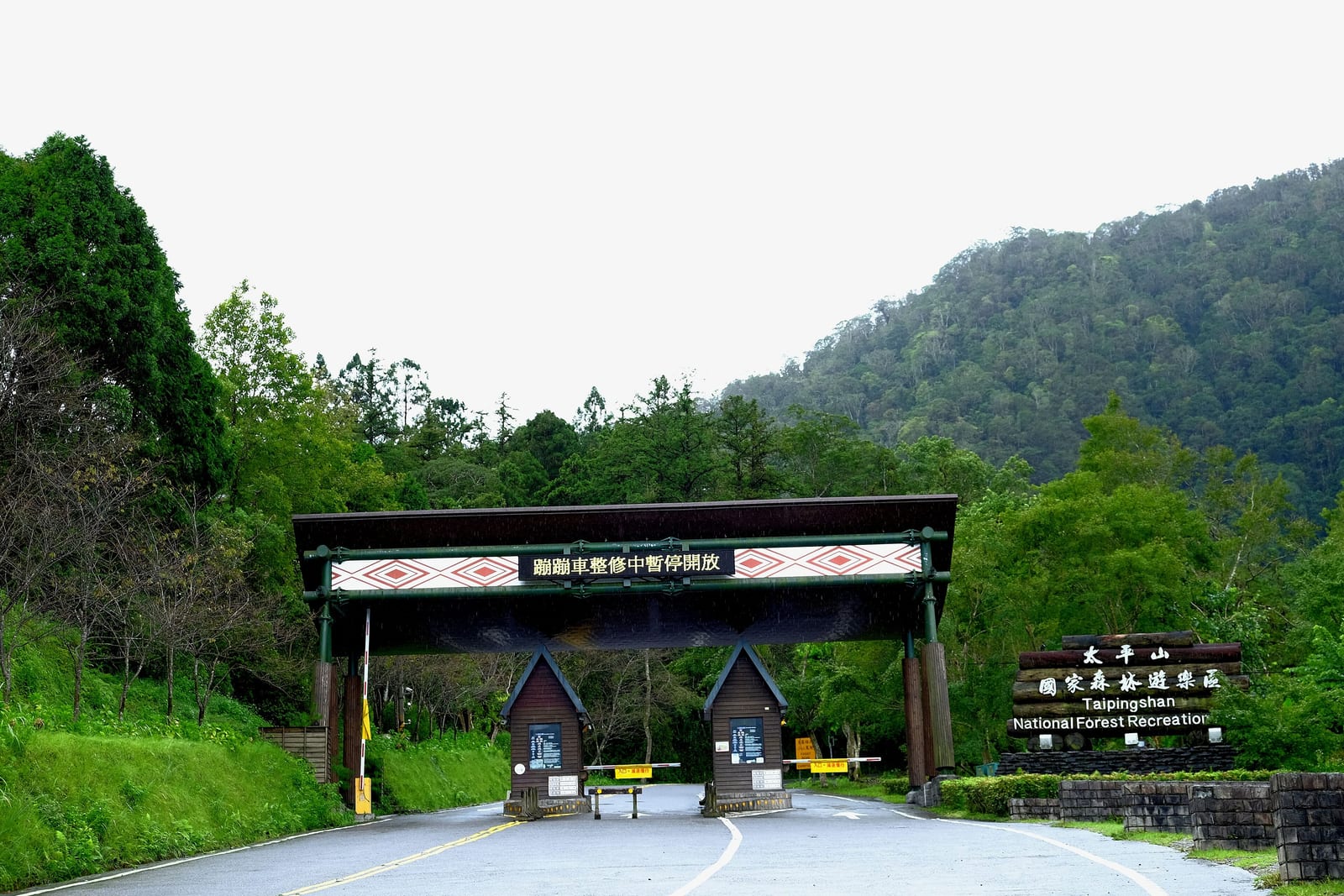
Taipingshan National Forest Recreation Area is a national forest recreation area in Datong Township, Yilan County. Large-scale logging of Taiwanese cypress and hinoki began here in 1915 during the Japanese colonial period; the Forestry Bureau took over after the war and ended timber production in 1982, before the site was formally converted into a forest recreation area open to the public in 1983. The recreation area spans 12,930 hectares at an elevation of roughly 1,950 to 2,000 meters.
Timber production at Taipingshan officially began in 1915; logging stopped in 1982 following a change in forestry policy, and the area was formally converted into a forest recreation area open to the public in 1983 — a roughly 67-year transition from logging camp to tourist destination. The recreation area covers 12,930 hectares, with elevations varying widely across its sites: the main Taipingshan area sits at roughly 1,950 to 2,000 meters, the Cuifeng Lake area at about 1,850 to 2,050 meters, and the highest peak within the area, Nanhu Mountain, reaches 3,740 meters.
Highlights of Taipingshan
The recreation area sits in the northwestern mountains of Datong Township, Yilan County, at an elevation of approximately 1,950 meters, covering a wide expanse of forest land. Large-scale logging began during the Japanese era in 1915; after the war, the Forestry Bureau took over and continued operations until 1982. The surviving Bong Bong Train railway (Maoxing Heritage Railway section) and log storage ponds are tangible remnants of the logging era, and also serve as physical sites for understanding the history of Taiwan's forestry industry.
The Jianqing Heritage Trail follows the alignment of the old timber-hauling railway, offering expansive views; on clear days it affords distant views of the surrounding ridgelines and the direction of Cuifeng Lake. In autumn (late October to November), the beech leaves turn yellow while maple reds appear simultaneously, creating distinct layers of color. The park entrance area sits at a lower elevation and has restaurants and accommodation, suitable as a base for a day trip or overnight stay.
How to make the most of your visit
Practical information
Getting there and travel time
- Drive along Provincial Highway 7 (North Cross-Island Highway), then turn onto Provincial Highway 7A to Taipingshan — the total distance is about 70 km. The mountain road has many bends, so allow plenty of driving time. Check Forestry Bureau announcements in advance for weekend traffic-control periods.
- There is no direct public transport; some travel agencies offer one-day package tours with chartered coaches.
- The area is open year-round, but may close temporarily during winter snowfall or icy road conditions — always confirm road conditions on the day before departing.
Nearby connections
- Cuifeng Lake is within the recreation area and can be combined with Taipingshan for a day trip or overnight stay — see the Cuifeng Lake attraction page.
- On the way back you can stop at Mingchi National Forest Recreation Area in Datong Township, or descend along Provincial Highway 7A to Jiaoxi for hot springs to end the trip.
Sources: Forestry Bureau official information for Taipingshan National Forest Recreation Area; Wikipedia entry on 'Taipingshan National Forest Recreation Area.'
Frequently Asked Questions
When did logging at Taipingshan begin and end?
Timber production officially began in 1915 and stopped in 1982 due to a change in forestry policy, spanning roughly 67 years.
When did Taipingshan become a forest recreation area?
Taipingshan was formally converted into a forest recreation area open to the public in 1983, transitioning from a logging camp to a tourist destination.
What are the area and elevation of Taipingshan National Forest Recreation Area?
The recreation area covers 12,930 hectares, with the main sites at roughly 1,950 to 2,000 meters elevation; the highest peak within the area, Nanhu Mountain, reaches 3,740 meters.
Sources
- 太平山國家森林遊樂區入口網-園區簡介 — 面積12,930公頃、海拔、1915-1982伐木歷史、1983年改制官方資訊